As we are well within late summer and the dreaded hayfever season is upon us, many find themselves battling the sniffles, sneezes, and itchy eyes of seasonal allergies, like me. While you can’t control the pollen count in the broader environment, you can significantly reduce your exposure and create a more comfortable sanctuary within your own backyard through strategic landscaping.
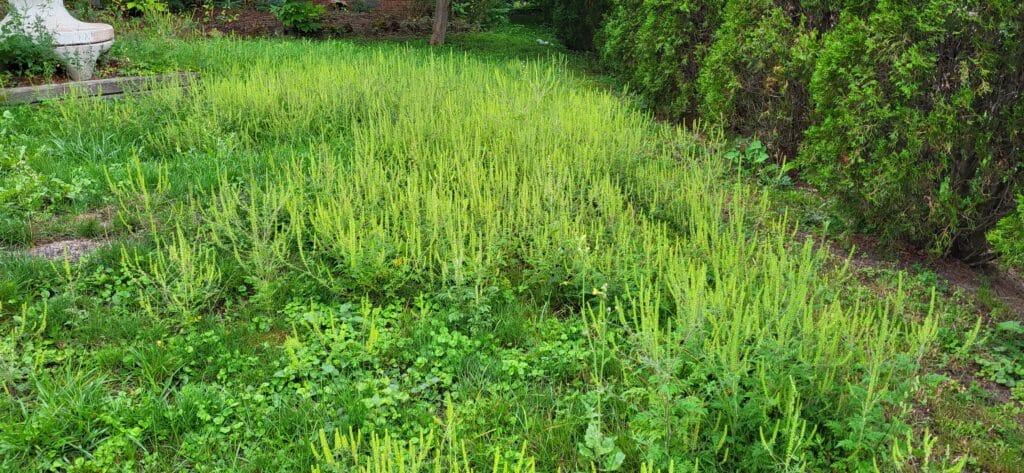
The primary culprit of late summer and fall allergies is ragweed, a common weed that loves disturbed and forgotten areas. This evil plant releases vast quantities of extra-fine, lightweight pollen that can travel for hundreds of miles on the wind. Ragweed, being a wind-pollinated plant, requires the wind to spread its pollen from the male to female plants.
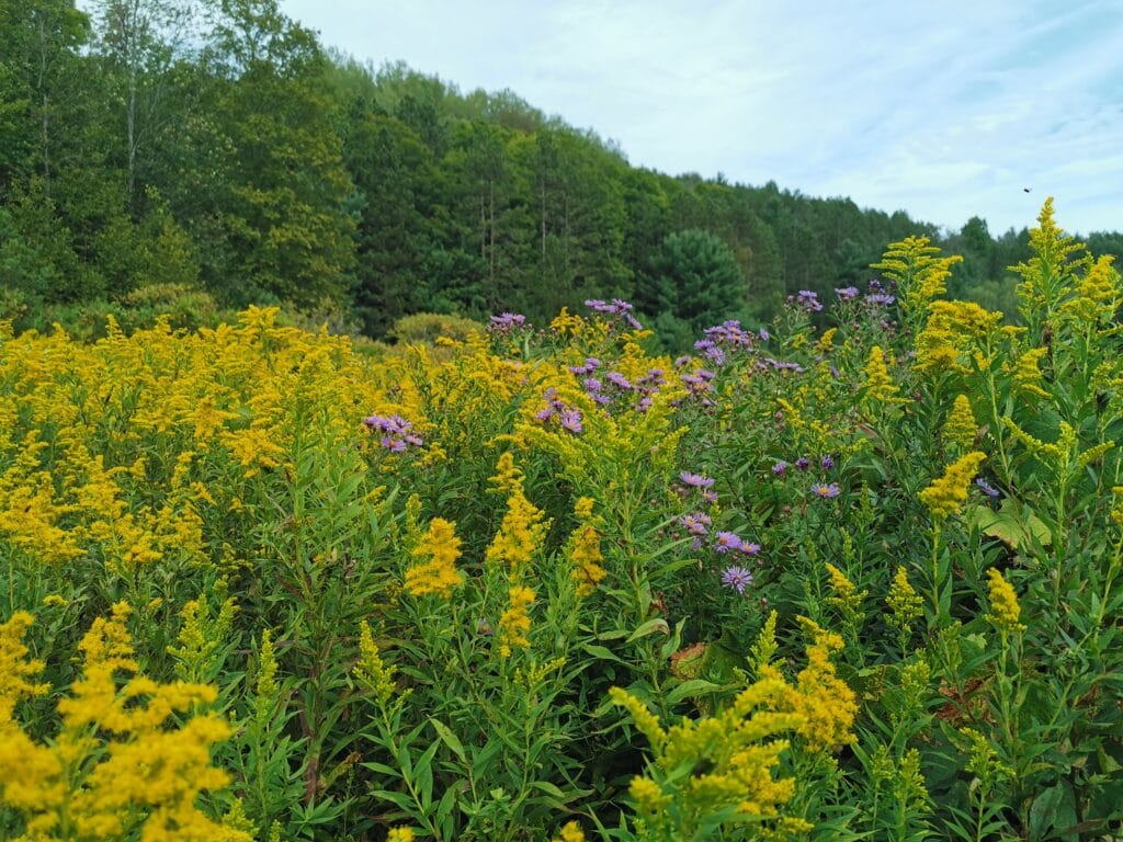
On the other hand, many people mistakenly attribute their fall allergies to the beautiful and showy Goldenrod. Goldenrod’s pollen is heavy and sticky because it is insect-pollinated, requiring the showy flower to attract insects.
Identifying and Eliminating Ragweed
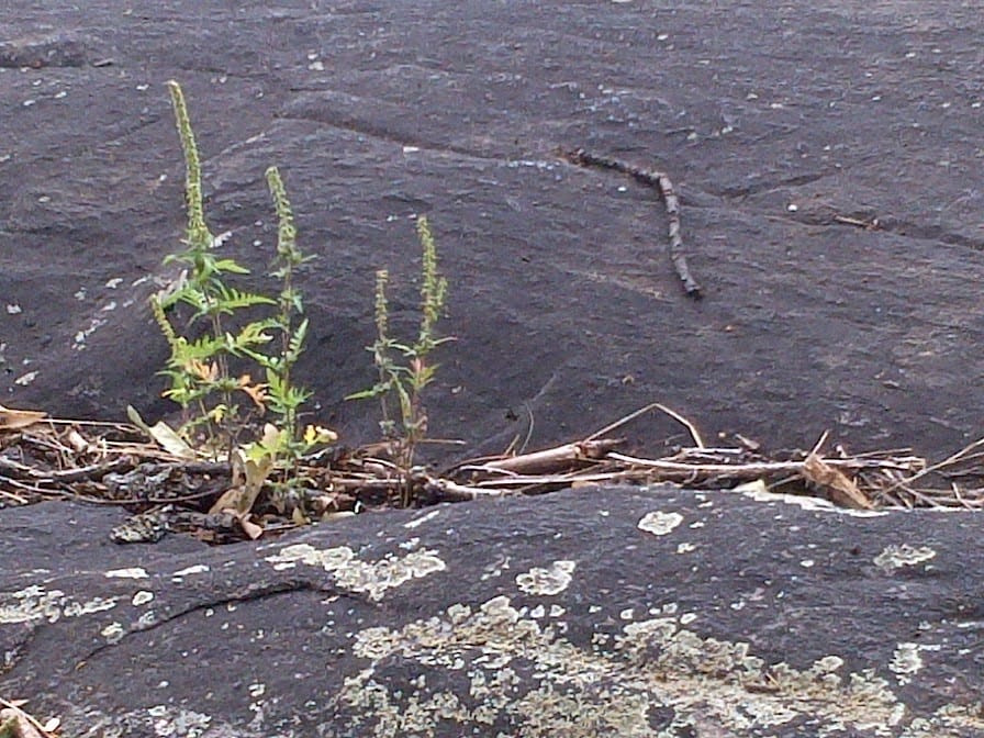
Before you can tackle ragweed, you need to know what it looks like. Common ragweed has fern-like leaves and produces small, inconspicuous greenish-yellow flowers on spikes, like the plant shown in the photo. It thrives in disturbed soil and is typically found in bare patches of your lawn or garden, as well as along the edges of gravel driveways and roads.
The most effective way to reduce its impact is to remove it before it has a chance to release its pollen. Hand-pulling is a good option, especially after a rain when the soil is soft.
Tips for Allergy-Conscious Landscaping:
Beyond ragweed removal, a well-planned and maintained landscape can help reduce your exposure to these airborne allergens. Consider the following strategies:
Mindful Maintenance:
How you care for your yard can make a big difference. Keeping your lawn mowed to a height of about 5 cm or two inches helps to prevent grasses from flowering and releasing pollen. It also helps to ensure the weeds, like ragweed, are crowded out by the grass. It’s also best to tackle yard work on days with lower pollen counts, typically after a rain or in the evening.
Strategic Use of Hardscaping:
Replacing some of your lawn with patios, walkways, or decks can reduce the area where pollen-producing vegetation can grow in your yard. These surfaces are also easy to clean, preventing pollen from accumulating. However, be cautious not to have too many hard surfaces, as this can lead to excessive stormwater runoff (a different concern).
Create a Windbreak:
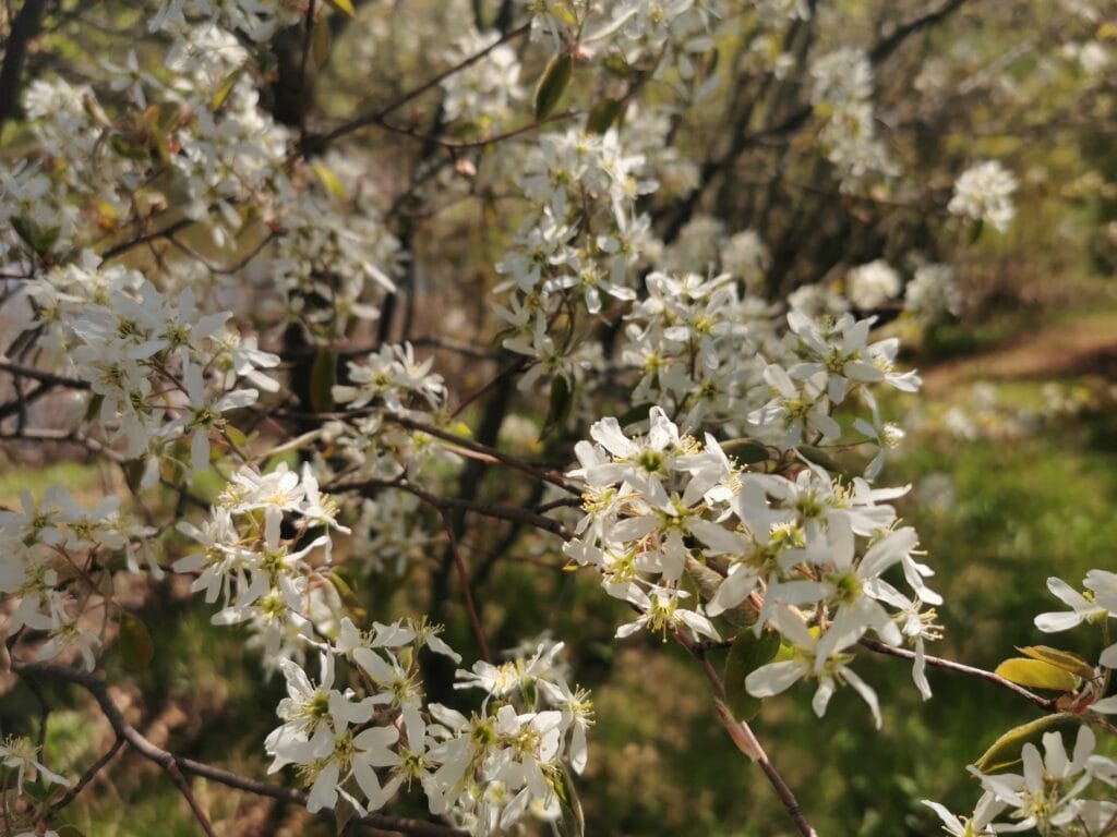
Planting a dense hedge of low-allergen trees or shrubs can create a natural barrier that helps filter out windblown pollen from neighbouring areas. Choose varieties that are not significant pollen producers themselves, such as cherry trees, dogwoods, or hawthorns. With this type of hedge, you will also be supporting many pollinating insects, such as butterflies.
Choosing Low-Allergen Plants for Southern Ontario
The cornerstone of an allergy-friendly garden is selecting plants that produce little to no airborne pollen. Typically, plants with large, showy flowers are insect-pollinated and are safer to use in your plan. These showy flowers are designed to attract insects and usually have a heavier, stickier pollen, which can hitchhike to the next plant when the insect stops by each flower for a quick sip of tasty nectar.
On the other hand, some trees and shrubs are dioecious, such as holly (Ilex spp.), meaning the male and female parts are on different plants. These dioecious plants typically use the wind to spread the pollen between them. If you are selecting a dioecious plant only because of its leaf characteristics, it is best to choose the female varieties, whenever possible, as they do not produce pollen.
Some of My Favourites:
- Serviceberry (Amelanchier spp.)
- An early spring-flowering small tree or shrub that produces a tasty, edible, blueberry-sized fruit.
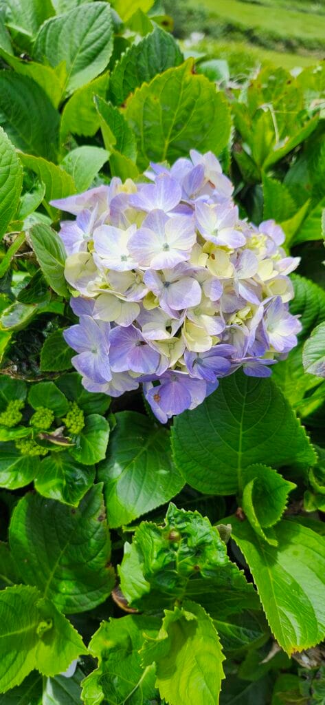
- Hydrangea
- This later-season flowering shrub has large, round flowers that dry and stay on the shrub over winter.
- Wild Bergamot (Monarda fistulosa)
- This perennial, with its pale purple flowers, is enjoyed by many pollinating insects, including many butterflies.
Plants to Avoid
Just as important as knowing what to plant is knowing what to avoid. Steer clear of plants that are known to be significant pollen and allergy producers, including:
- High-Pollen Trees: Ash, Birch, Cedar, Elm, Oak, Pine
- Grasses: Bermuda, Fescue, Timothy
- Weeds: Besides ragweed, be on the lookout for other common allergenic weeds that typically have non-showy green flowers, like lamb’s quarters and nettles.
By implementing these landscaping strategies and making thoughtful plant selections, you can create a beautiful and inviting outdoor space that serves as a welcome retreat during the height of ragweed season. A little planning can go a long way in reducing your allergy symptoms and allowing you to fully enjoy your yard.
Have you ever blamed beautiful goldenrod for your sniffles? You’re not alone! Share your own allergy stories with our community below.“
**TL;DR:**
- Your late summer allergies are from the ugly green-flowered ragweed, not the beautiful yellow-flowered goldenrod.
- Mow or pull ragweed out of your yard now before it releases pollen.
- For long-term relief:
- landscape with showy, insect-pollinated flowers (like Hydrangea),
- plant dense hedges to block windblown pollen,
- avoid high-pollen trees like cedars, oaks and birch.
Staff News:
Owner and Landscape Architect Kevin Post recently completed the challenger’s course of the Wilderness Traverse Adventure Race. Kevin and his team completed the course in just over 31 hours, after dealing with extreme heat and a broken derailer hanger.
After the race, Kevin wait for two separate canoe trips along the Historic French River. His trip report can be found on his Linked In page:
https://www.linkedin.com/feed/update/urn:li:activity:7366197495963504640


